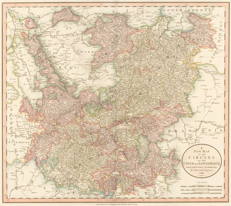
Upper and Lower Rhine, from Cary's New Universal Atlas.
Cary, John.
Cary's New Universal Atlas.
This plate: A New Map of the Circles of the Upper and Lower Rhine.
London, 1808. [Map dated 1799.]
Original engraving hand-colored at publication.
Sheet size: 21 x 26 in.
Item nr. 154530
Price:
$585.00